
Boundary Survey When Zoning Maps Show Approximate Parcel Lines
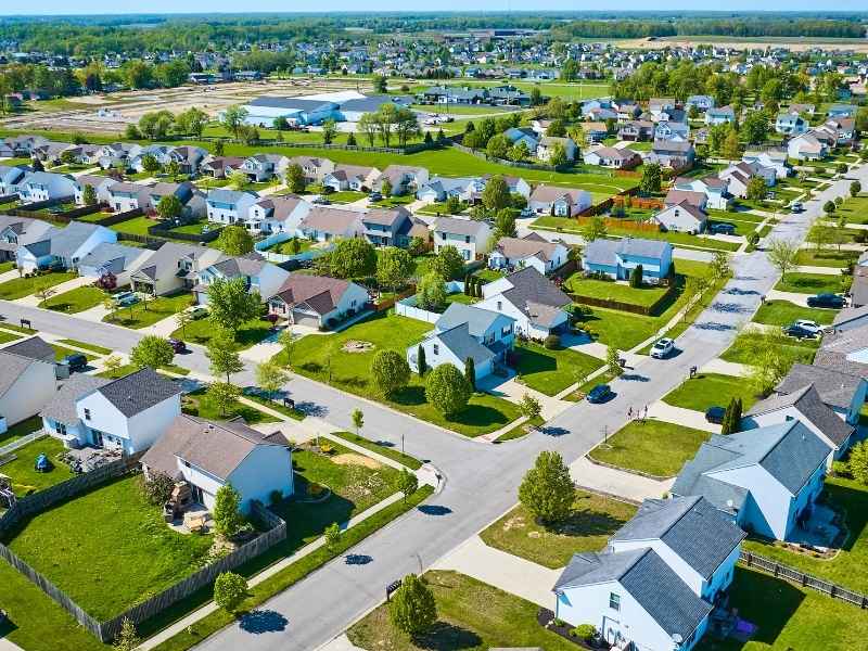
A boundary survey can show something that surprises many property owners. The line on a zoning map is not always the real property line. Zoning maps do a different job. They show zones, like residential or commercial. They do not prove where a lot actually ends. That gap can matter a lot once setbacks, permits, or new building plans come into play.
Why Zoning Maps May Show Parcel Lines Only Approximately
Zoning maps show where rules apply. One block might be marked for homes. Another might be marked for stores. The lines on these maps help explain that, but they were not made to prove exact property edges.
Most zoning maps come from GIS data. GIS is a computer system that stores map information. It works well for big maps, but it often smooths out small details to keep things simple. A line that looks exact on a screen might sit several feet off in real life.
This is not a mistake. It is just not what these maps were built to do. Planning offices use them to show zones, not to mark exact corners.
Compare Zoning Map Lines With Recorded Property Documents
A boundary surveyor does not trust the zoning map alone. Instead, they start with real records. These include deeds, subdivision plats, legal descriptions, and old survey markers.
These records carry legal weight. A deed shows how a property changed hands and how it was measured. A plat shows how a neighborhood was first divided into lots. Markers, like iron pins or concrete posts, connect those old records to real spots on the ground.
When a surveyor checks these records against a zoning map, gaps often show up fast. Sometimes the map line is closed. Sometimes it is off by a good bit. Either way, the recorded documents win, not the map.
Locate the Actual Boundary Before Using Zoning Setbacks
A setback is measured from the real property line, not from a zoning map. This point matters more than most people think.
Say a homeowner wants to build an addition. The rule calls for a 15 foot setback from the property line. That sounds easy, until the zoning map’s rough line turns out to sit a few feet off from the true line. That small gap can change how much room there is to build.
Finding the true boundary first removes this risk. It also stops owners from planning a project around space that does not really exist on their lot.
Resolve Parcel-Line Differences Before Planning Site Improvements
Before adding anything near a property line, it helps to know exactly where that line sits. A boundary survey checks whether the zoning map’s line matches the real boundary, and by how much.
This matters most for things built close to a setback line. That includes home additions, driveways, sheds, fences, or anything else near the edge of a lot. A gap of just a few feet can turn a good project into a costly fix.
Use the Surveyed Boundary for Zoning and Permit Coordination
Once a boundary survey shows the true property line, everyone can use that same line as their guide. Owners, designers, builders, and local officials all work from one clear boundary instead of a rough map line.
This helps during permit review. Officials checking setbacks need a solid starting point, and a fresh boundary survey gives them one. It also speeds up the whole process, since fewer questions come up about where the lot actually ends.
A surveyed boundary does not replace the zoning process. It just gives that process something solid to stand on.
Frequently Asked Questions
Are parcel lines on zoning maps legally accurate?
No. Zoning and GIS maps are handy for showing land use zones, but their lines should not be treated as true legal boundaries.
Why can a zoning map and a boundary survey show different parcel lines?
Zoning maps often come from GIS data made for broad planning use. A boundary survey instead relies on recorded documents, field measurements, and physical markers to find the true line.
Should I get a boundary survey before measuring a zoning setback?
Yes, if the exact property line matters for a planned project or setback rule. A boundary survey gives a much more solid starting point than a rough map line.
What documents does a surveyor use to locate a boundary?
Surveyors usually check deeds, subdivision plats, and legal descriptions. Then they compare that with markers found in the field, like iron pins or concrete posts.
How much can a zoning map’s parcel line differ from the real boundary?
It changes from lot to lot, but even a few feet of gap can affect a setback rule or a planned project. A survey shows the exact distance.
